Analysis
Understanding Redistricting Through Demographic Change, Not Horse Race Politics
Translating the country’s population growth and demographic change into representational opportunities is at the heart of drawing new voting maps.


Part of
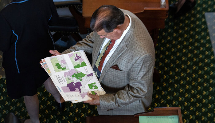
The process of redrawing electoral districts for Congress and state legislatures around the country has begun. In the coming weeks and months, there will be much commentary about these maps. Invariably, for reporters and others watching the process, the temptation will be to analyze them through the simplified lens of a battle between the major parties, focused on political winners and losers.
But redistricting isn’t just a story about the partisan effects of maps. The goal of the process is to translate population shifts and demographic changes into electoral districts. And so, the most consequential story is that of real-world impact of maps on communities, and in particular communities of color.
Last decade, communities of color powered the country’s growth — accounting for all population increase for the first time in history. Drawing lines that reflect this emerging multiracial and multiethnic America has never been more urgent given the persistent underrepresentation of these communities.
Black, Latino, and Asian households are increasingly moving to suburbs, transforming historically homogenous urban outskirts into diverse areas. These emerging communities should be able to translate their preferences into representatives that will bring their perspectives and experiences into legislative chambers and provide their constituents with necessary services. As states and localities redraw maps, they should be assessed for how well they capture these changes.
To spotlight the country’s evolution, we analyzed the demographic trends of the past decade in four states: Florida, Georgia, North Carolina, and Texas.
These analyses focus on the racial and ethnic groups that are driving growth and the geographic distribution of population changes across the states. The goal is to shed light on the demographic and social transformations that should guide the redistricting cycle and be visible in adopted maps.
All four states tell similar stories of rapid population growth. All feature a redistricting process dominated by a single party, and all have an ugly recent history of redistricting abuses and racial discrimination. More importantly, all have seen significant gains among nonwhite populations in once mostly white suburbs that were specifically designed to exclude people of color. And, in all, growing communities of color have already started to transform the balance of power, threatening to upend longstanding power structures.
For example, in Georgia’s Gwinnett County outside Atlanta, Black, Latino, and Asian communities have mobilized to change the political landscape at all levels of government, in many cases, overcoming resistance from the white establishment. The same is true in Sugar Land, Texas, once defined by white flight from nearby Houston and now 41 percent Asian and 62 percent nonwhite. Areas around Charlotte and the Research Triangle in North Carolina and Orlando, Florida, follow similar trends.
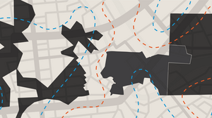
Map drawers in these states will face choices about how to treat these diversifying communities.
In some places, communities of color will have grown large enough to be able to file legal challenges to unfair maps under voting rights laws. But even where lawsuits are not possible, discretionary decisions will be made about the creation of new electoral opportunity for sizeable — and growing — minority communities.
If history is any guide, it is unlikely that those holding the pen will embrace the multiracial and multiethnic future. And so, the threat of another decade of discriminatory maps looms. Unfortunately, Congress has not yet acted to strengthen the legal protections for communities of color by passing legislation like the Freedom to Vote Act and John R. Lewis Voting Rights Advancement Act.
But that inaction should not be used as a green light for drawing districts that dilute the influence of Black, Latino, and Asian communities. As states release new district maps, careful attention should be paid to whether the next decade’s political boundaries accurately capture a transformed America or whether discriminatory line drawing and backlash against communities of color undermine fair representation for another decade.
More from the Redistricting and Changing Demographics in Key States series
-
Georgia Redistricting and Congressional Districts
Here’s how Georgia’s demographics have changed since the last time maps were drawn — and what those changes mean for this decade’s redistricting cycle. -
North Carolina Redistricting and Congressional Districts
Here’s how North Carolina’s demographics have changed since the last time maps were drawn — and what those changes mean for this decade’s redistricting cycle. -
Texas Redistricting and Congressional Districts
Here’s how Texas’s demographics have changed since the last time maps were drawn — and what those changes mean for this decade’s redistricting cycle.


Stay up to date